Colorado, New Mexico, Oklahoma, Texas and back to New Mexico
We left Fountain in Colourful Colorado in grey rainy skies and 4 degrees centigrade. We hoped to find warmer weather and the sunshine soon.

A route of battlefields
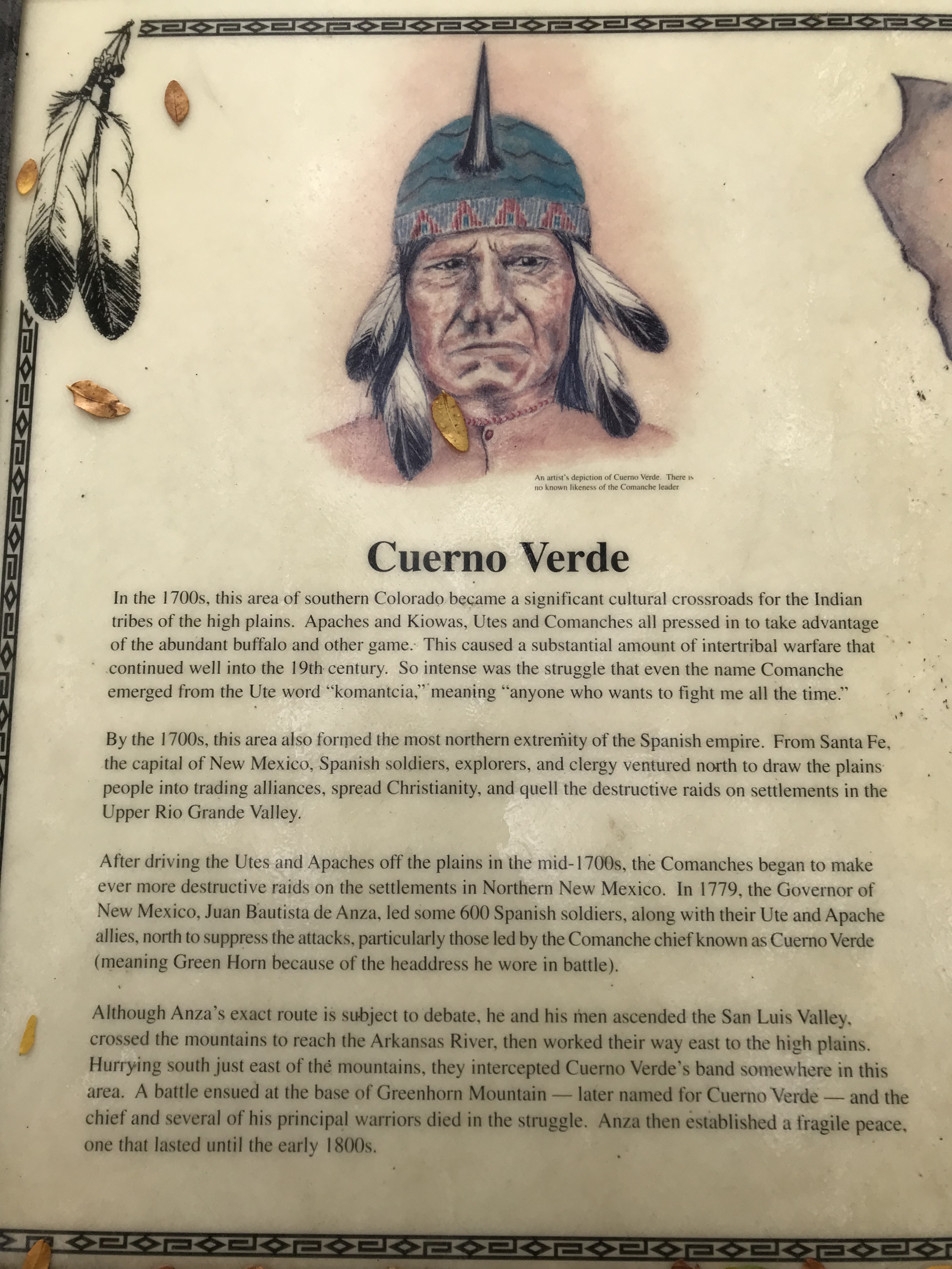
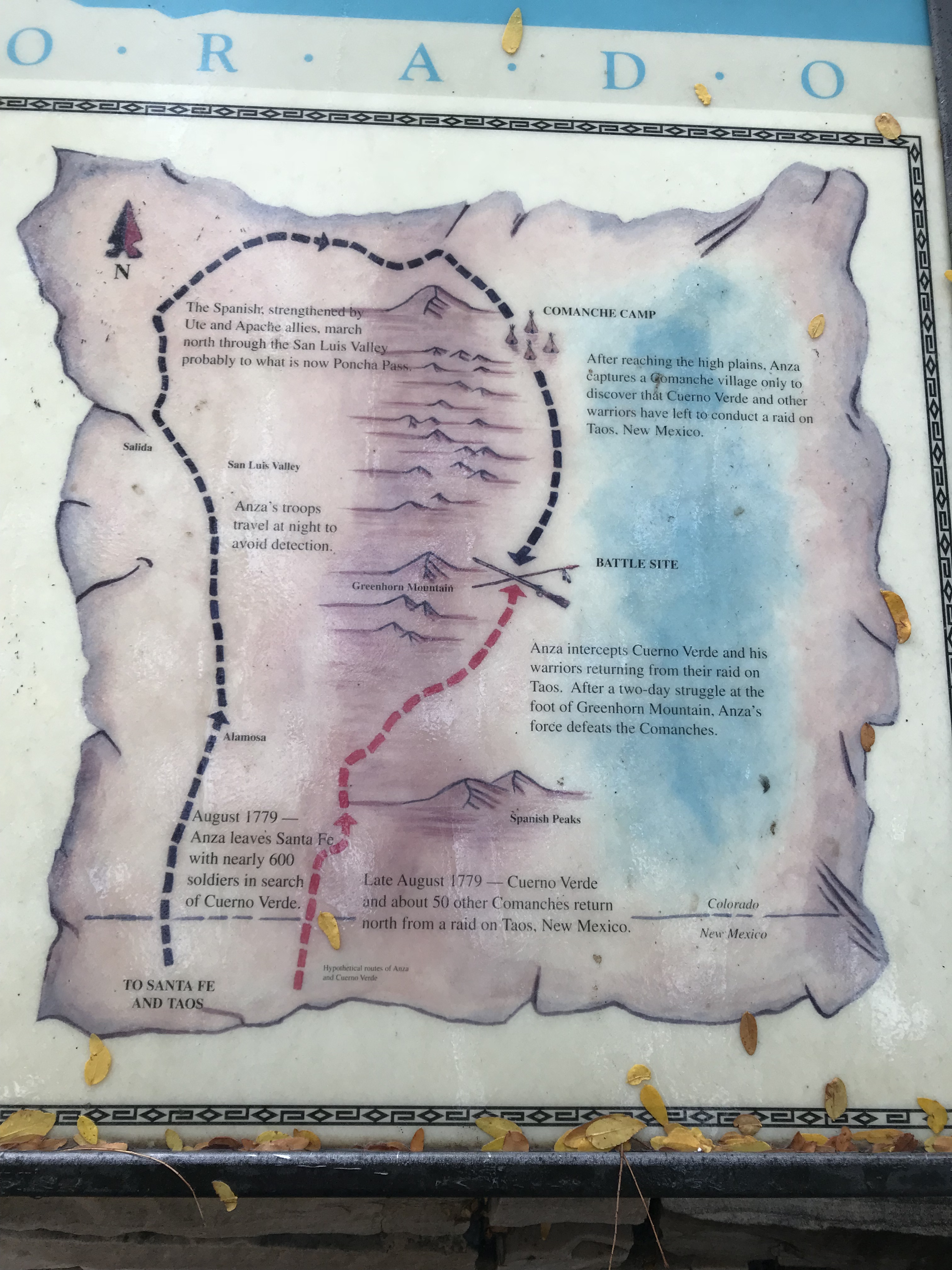
On our travels we stopped briefly at Cuerdo Verde a place which in the early 1700s saw internal battles from the various Indian tribes of Apaches and Kiowas, Utes and Comanches. This area formed the most northern extremity of the Spanish Empire. Several battles ensued over the years with the tribes and the Spanish, resulting in the death of the Comanche chief Cuerdo Verde (Green Horn) where the area now gets its name from.
The region was also a battle site in 1872 between the Confederates and Unionists in the Civil war. The Confederates having to retreat to El Paso in Texas after the battle which became known as the Gettysburg of the West.
The mere mention of the ‘Confeds’ made us realise we were definitely heading South, even if the weather didn’t feel it!
Had the weather been kinder we may have taken a tour through these mountain ranges, but with such poor visibility we decided to head onto Raton in New Mexico.
However on the roads in Colorado were road signs stating “Winter is coming! Check your tires!”, obviously a fan of the TV programme Game of thrones!
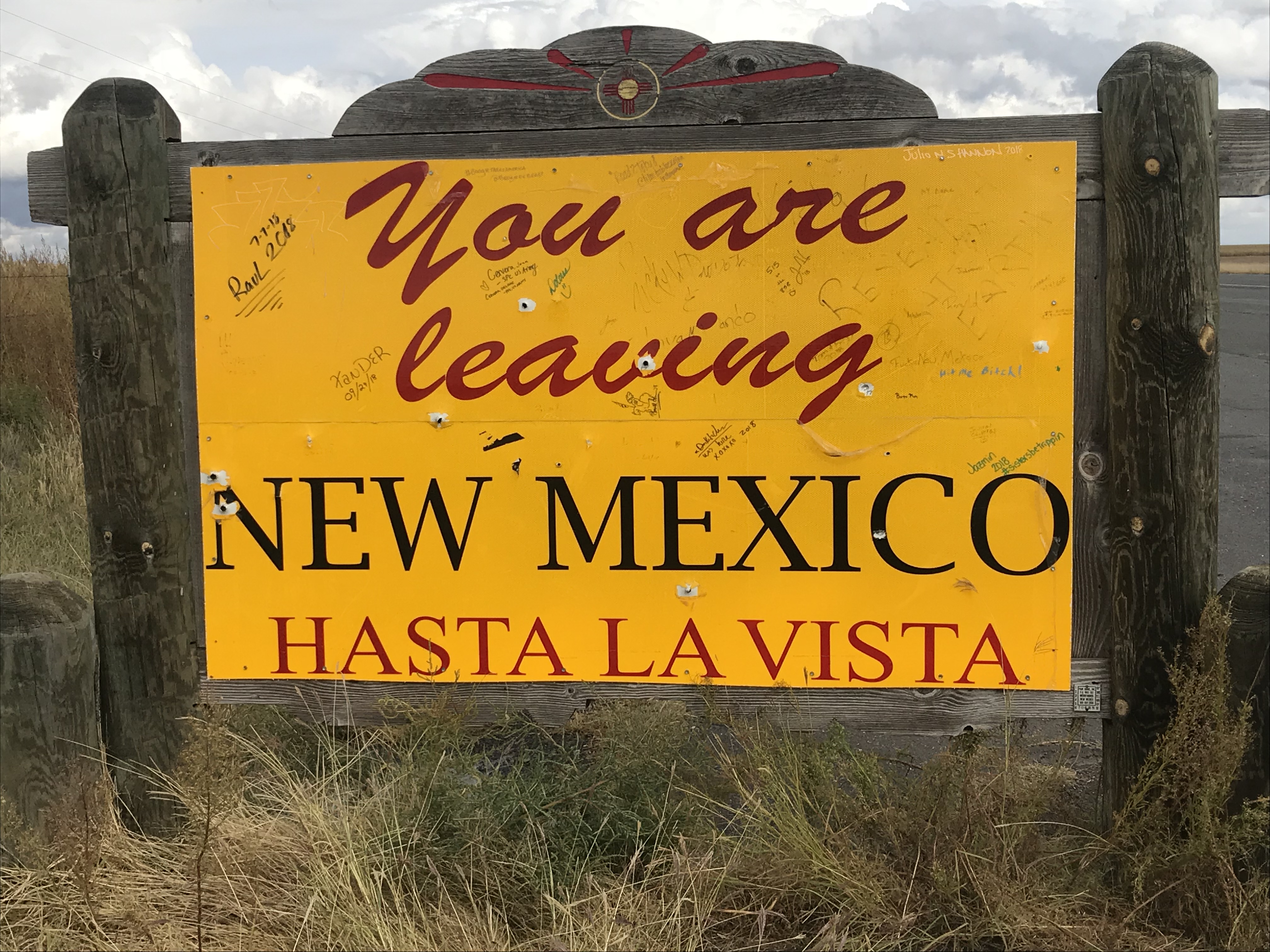
Welcome to New Mexico, the Land of Enchantment
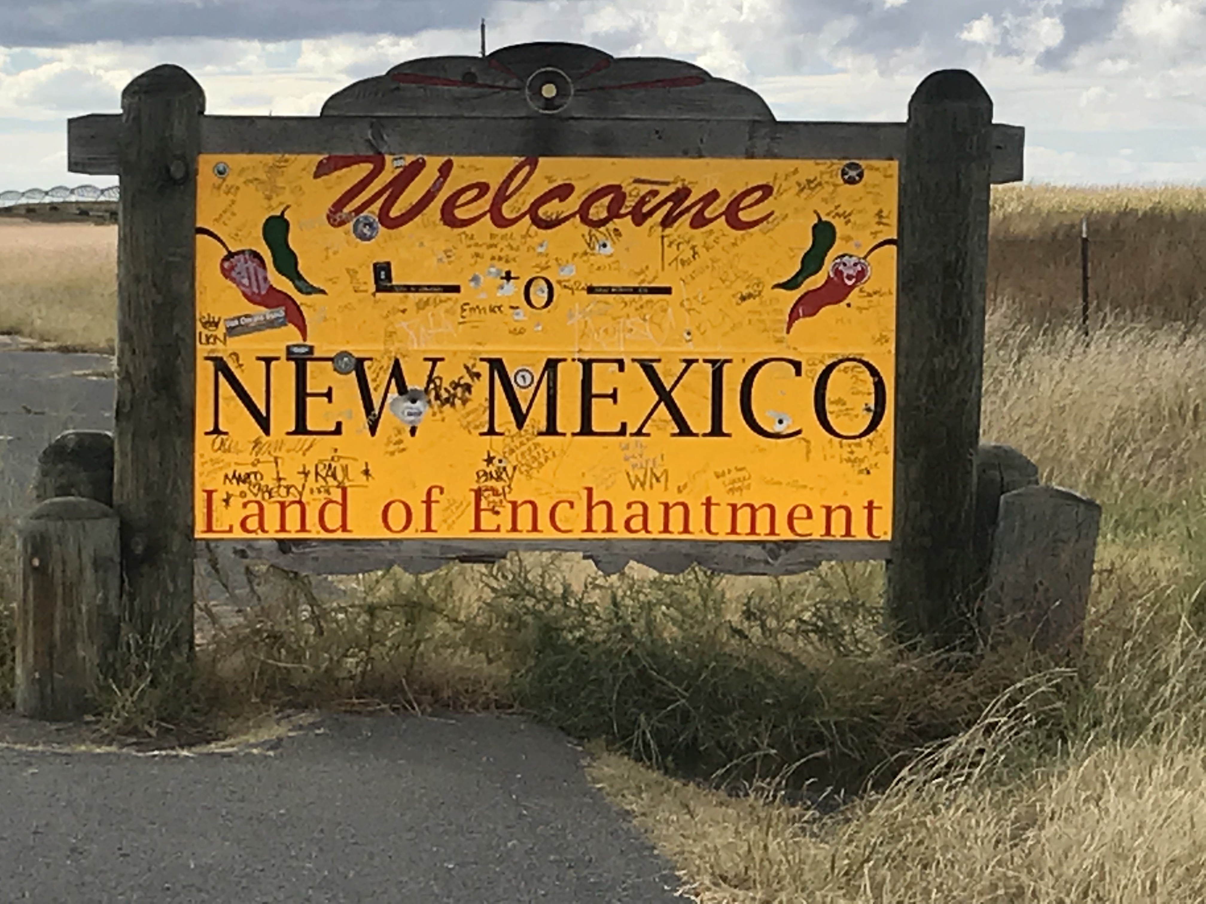
As we arrived into New Mexico the sun came out and we were greeted to the most spectacular colours of the Autumn trees on the hills.
A view of five States
As the weather had improved we decided to take a detour to Capulin Volcano. This national monument actually has 100 active volcanoes in the area. At the top on a clear day you can see the 5 States of Colorado, New Mexico, Kansas, Oklahoma and Texas.


Unfortunately for us the clouds came in as we started to walk around and didn’t get the full 360 view. What we could still see was fantastic. Land as far as the eye could see of land once owned by the Native American Comanche and The Kiowa tribes.
The Sante Fe Trail – 3 States and more history
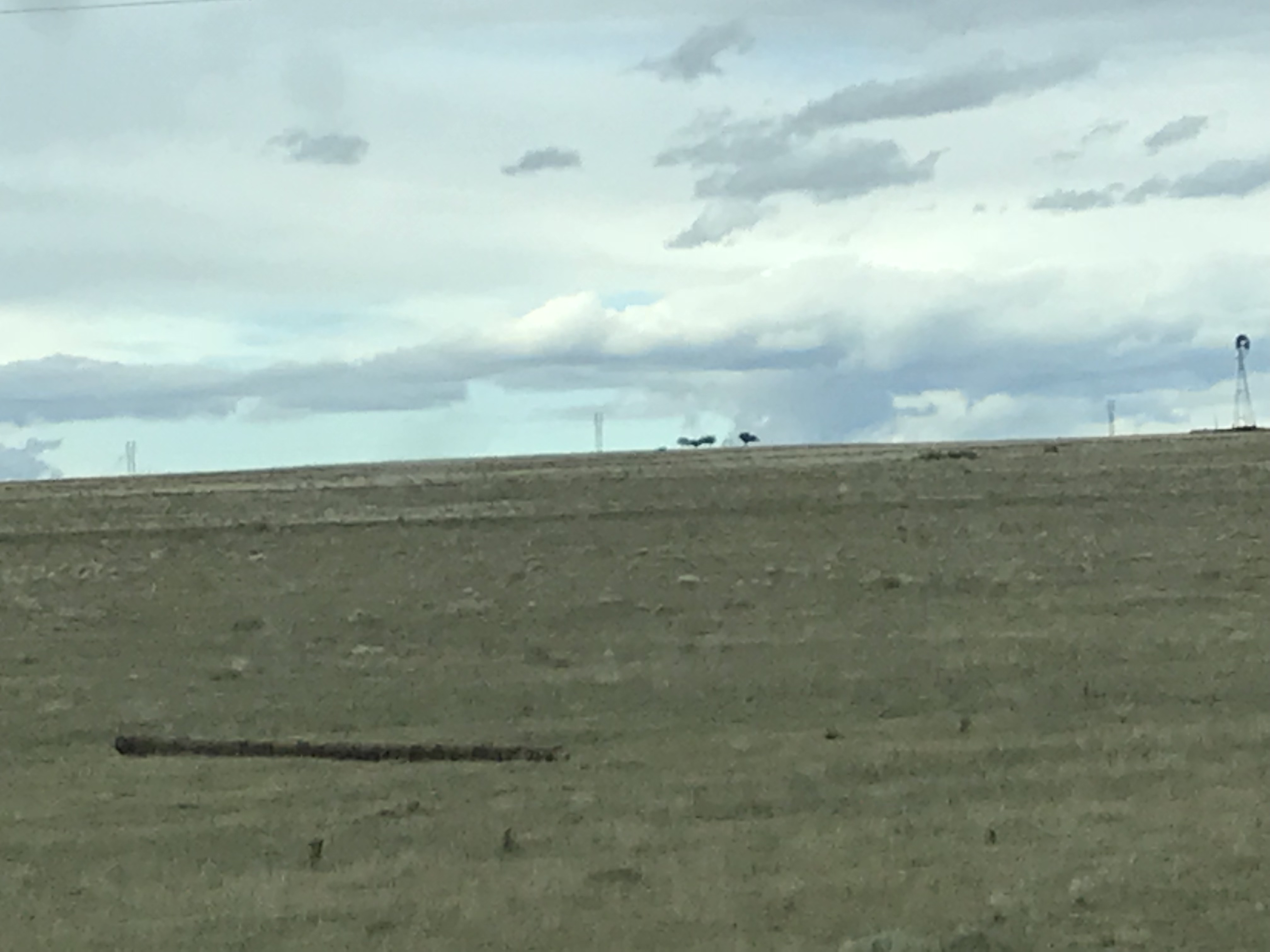
We decided to continue on the Sante Fe trail following in the footsteps of the early settlers (although in the opposite direction) towards Oklahoma and Texas. Miles of open prairie land and a large dual carriageway saw the miles go past swiftly. The scenery was amazing with mountains all around in the distance. The landscape had turned to golden, parched grassland.


Compared to the open plains of Wyoming this seemed even more remote. There were no conifer trees in the distant hills and the land did not seem to be cultivated agricultural land, just wild open grasslands for grazing. The only difference of the view the early settlers would have had was the electricity cables, telegraph poles and the one long straight dual carriageway.
We spent half a day touring the Sante Fe trail from New Mexico into Oklahoma and Texas, this should result in our big trip taking us to 16 States.
The town of Clayton is close to the of borders the three States where crossing from New Mexico takes you to a different time zone from Mountain to Central time.
The petrol station at Clayton was obviously the first one for miles as it was heaving with cars and commercial vehicles, everyone wanting fuel for their vehicles as well as for themselves!
The state border towns reminded me of the old border towns I remember in Europe before the EU. The towns seemed run down and not the most appealing of places. Many of the roads needed resurfacing and a lot of businesses had closed down.
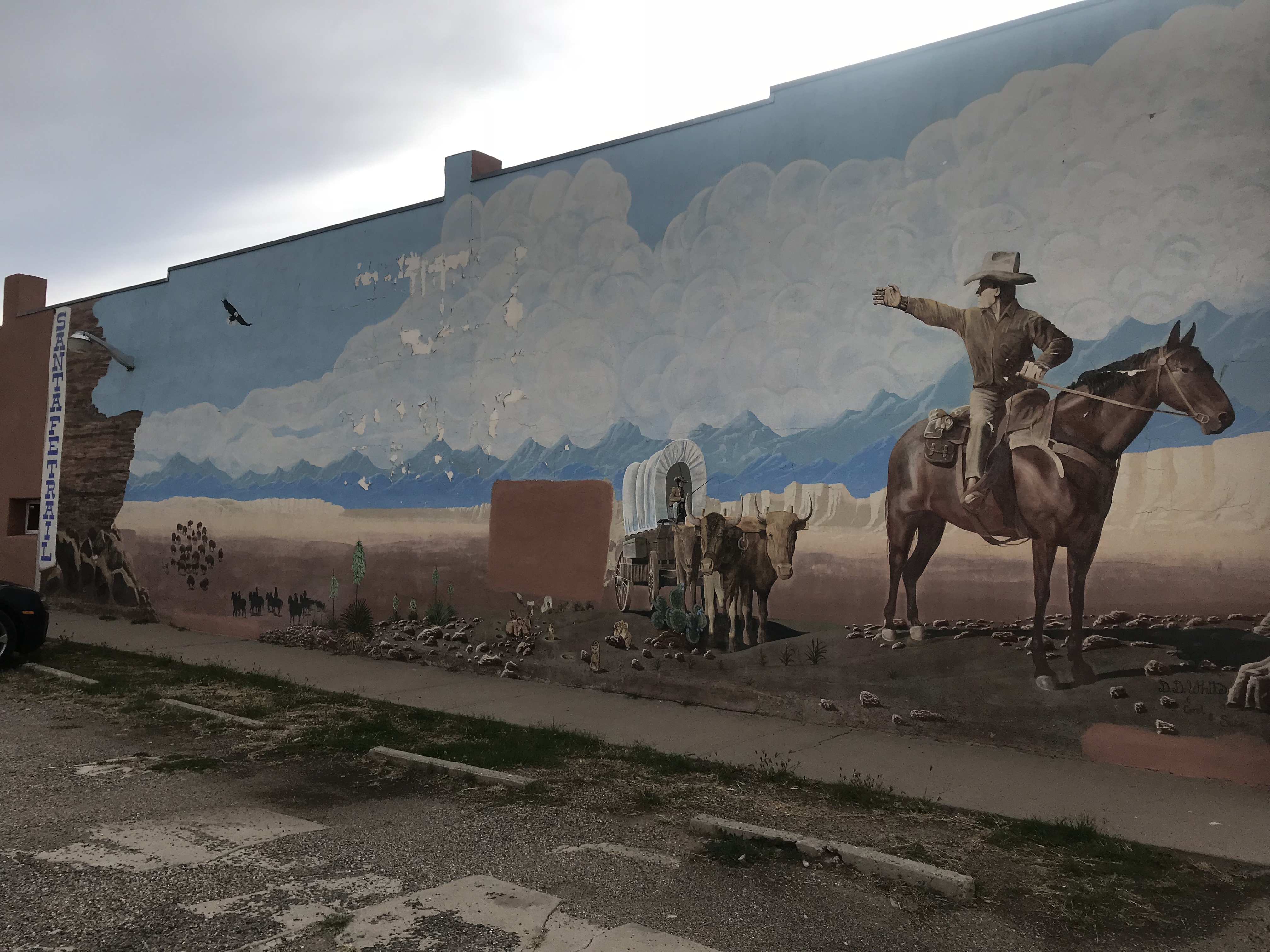
The Santa Fe trail was established in 1821 after a trader William Becknell left Missouri to initially trade with the Native Americans. In New Mexico he encountered Spanish soldiers who were keen for him to bring goods back for them. It was the start of a new era of trading in this region. The trail stretched more than 900 miles. By 1850 each wagon carried 6,000 lbs and the trains were sometimes hundreds of feet wide of oxen and horses pulling the merchandise and people, travelling 12 to 15 miles a day. Over a million dollars worth of goods were transported over the trail. Not just important items like cotton, wool and beaver pellets, but playing cards and parasols! At its peak in 1866, 5,000 horse and oxen freight wagons came over this trail. By 1879 the railway entered the region and the trail became history.
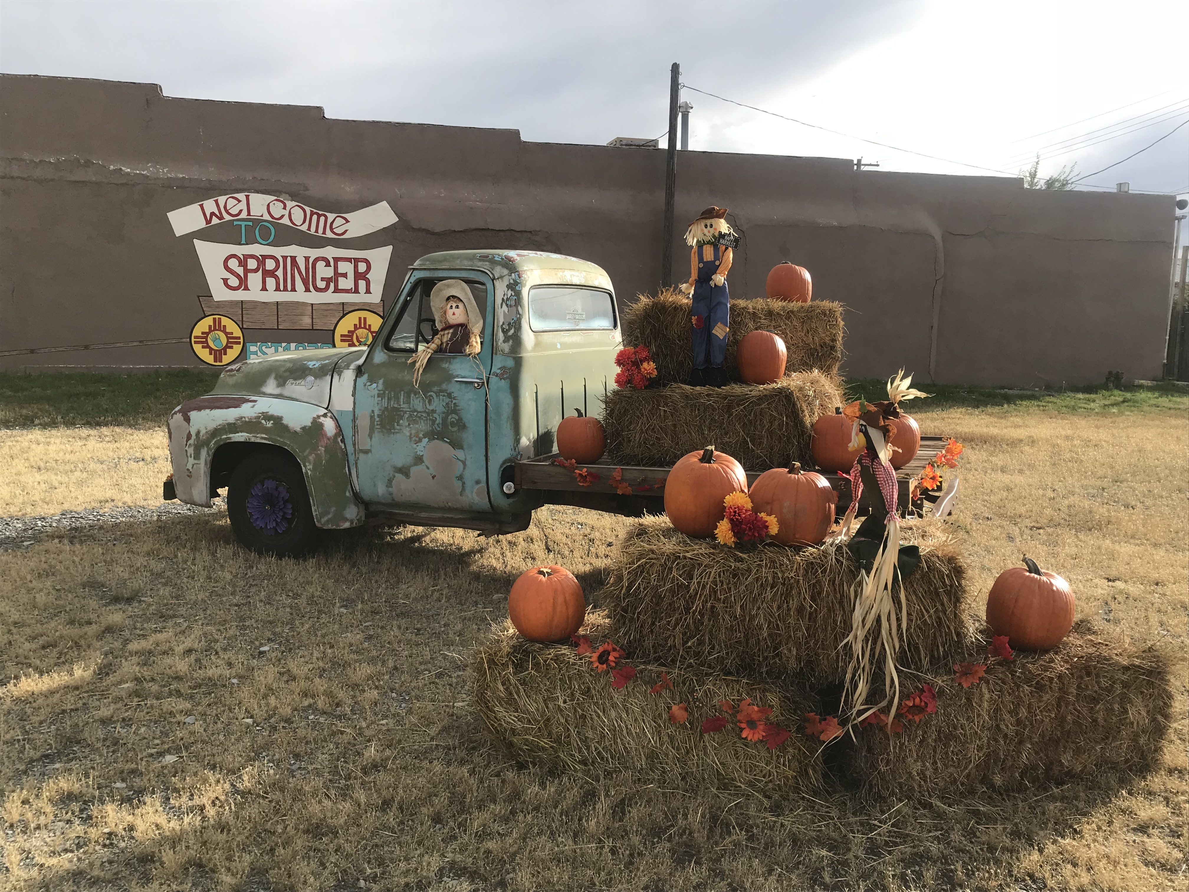
We called into an old pioneer town of Springer and our thoughts turned to our friend back home who has this as a nickname. I loved their country style Halloween display and montage to the trail.
Viva Las Vegas – not that one!
Back on the road towards Las Vegas (not Nevada, that is to come later in this trip) and once again driving through miles of prairie country. This scenery is amazing, not in a stunning way like the three dimension views we saw in Yellowstone and elsewhere in the Rockies, but because of the scale. As far as the eye can see in every direction is the same golden landscape of fields and cattle grazing and way, way in the distance hills with flat plateaus. Hardly a tree in sight!
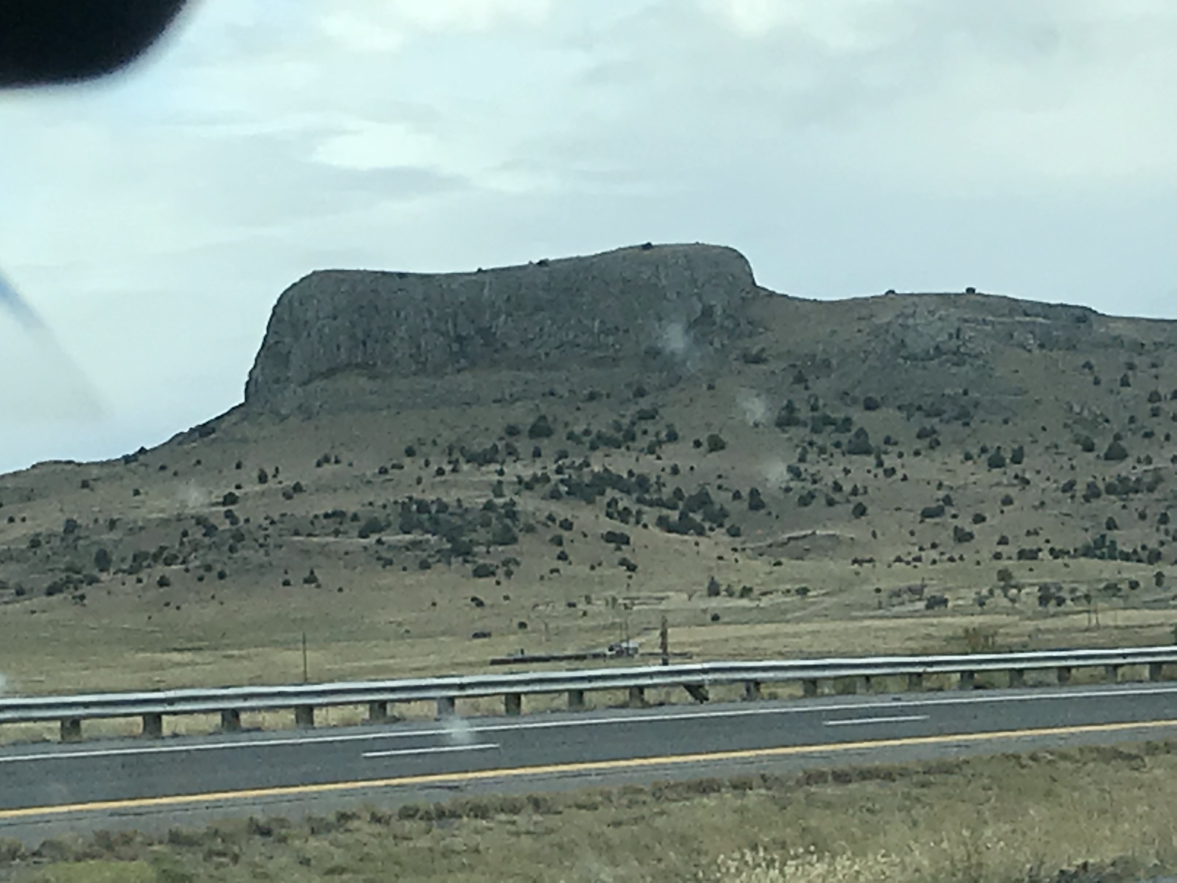
We came to Wagon Mount which was a key landmark on the trail and where to this day original wheel ruts can still be seen. Then onto Las Vegas, which has a traditional Spanish style plaza with bars and hotels from the Wild West era. We decided against stopping, as they said in the films ‘light would be closing in’ and we wanted to get to Sante Fe before dark.
Our home in Sante Fe is courtesy of an Air B&B and we were looking forward to having two nights in the same location. More on Sante Fe tomorrow.
As they say in these parts,
Hasta La Vista
Ax
